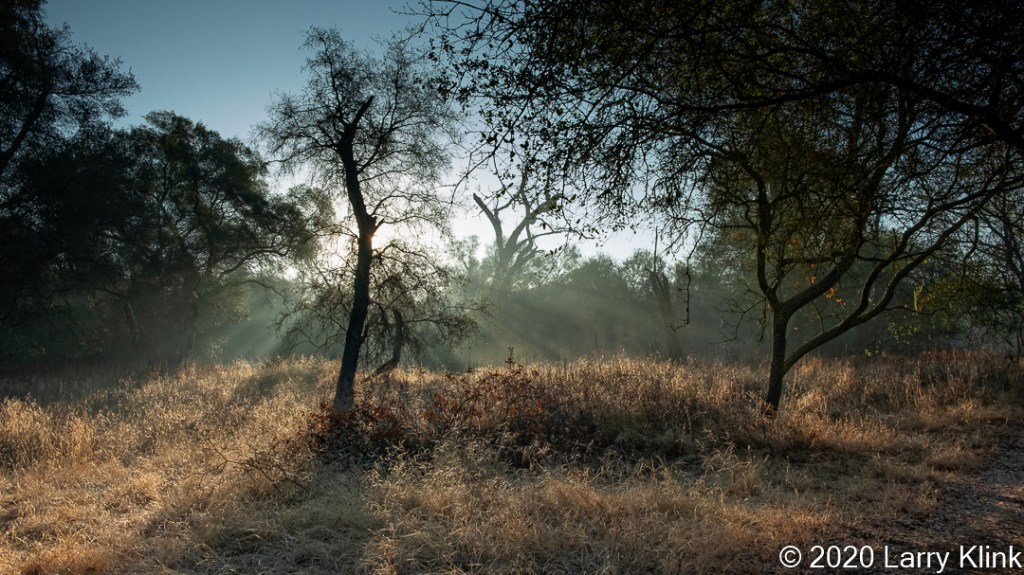
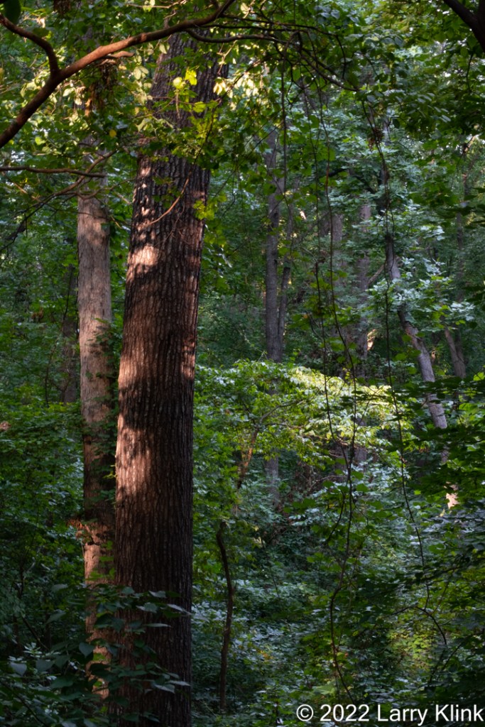
Big Trees Forest Preserve, Sandy Springs, Georgia, USA; JUN 2022
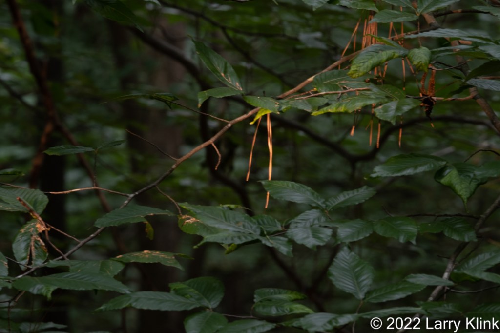
Last week, I visited Big Trees Forest Preserve in Sandy Springs, Georgia. It’s a suburb of Atlanta. It has several short trails that are easy to walk. I went specifically to photograph the light penetrating through the deciduous forest in the early morning. It was a fun hike.
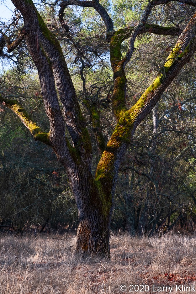
By the way, compared to Calaveras Big Trees State Park in California, the big trees here look like match sticks. But they are quite beautiful none the less.
Please click on caption to see image at higher resolution.

Powers Branch Creek, Big Trees Forest Preserve, Sandy Springs, Georgia, USA; JUN 2022
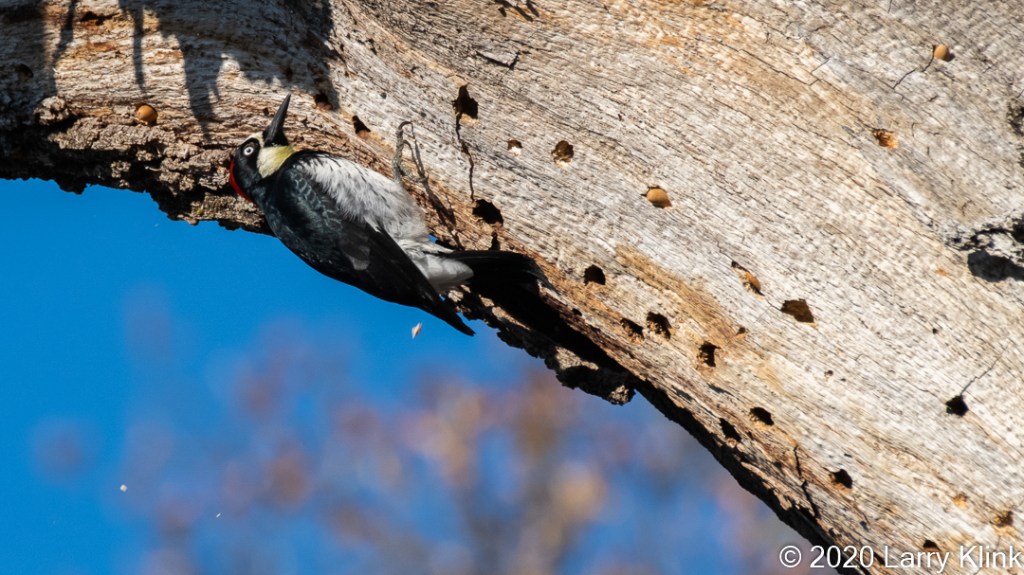
Big Trees Forest Preserve, Sandy Springs, Georgia, USA; JUN 2022

Big Trees Forest Preserve, Sandy Springs, Georgia, USA; JUN 2022

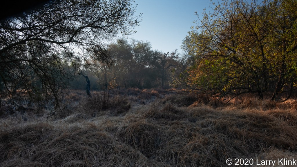
Powers Branch Creek, Big Trees Forest Preserve, Sandy Springs, Georgia, USA; JUN 2022

Big Trees Forest Preserve, Sandy Springs, Georgia, USA; JUN 2022
Please visit my website, www.earthwatcher.us to see my collection of landscapes and wildlife.
These and other images are available to purchase by contacting larry.klink@earthwatcher.us.
If anyone would like a copy of almost any picture in my library, for educational or research use, please contact me and I will happily share a digital copy with you.